A trip to visit Britt in Quesnel is not complete without a drive out to Barkerville. This year we thought we'd forego Barkerville in lieu of the shorter drive to Cottonwood House. The gods conspired against us, as Cottonwood House was closed for the season (2015-09-27). There was little else to do: drive on to Barkerville... TBCompleted
A celebration of the beauty of British Columbia through pictures and photos
Sunday, February 21, 2016
Telegraph Cove in the rain...
I'm reasonably happy with the slideshow in the previous post. For this post, I thought I'd try another slideshow. In this case, Telegraph Cove.
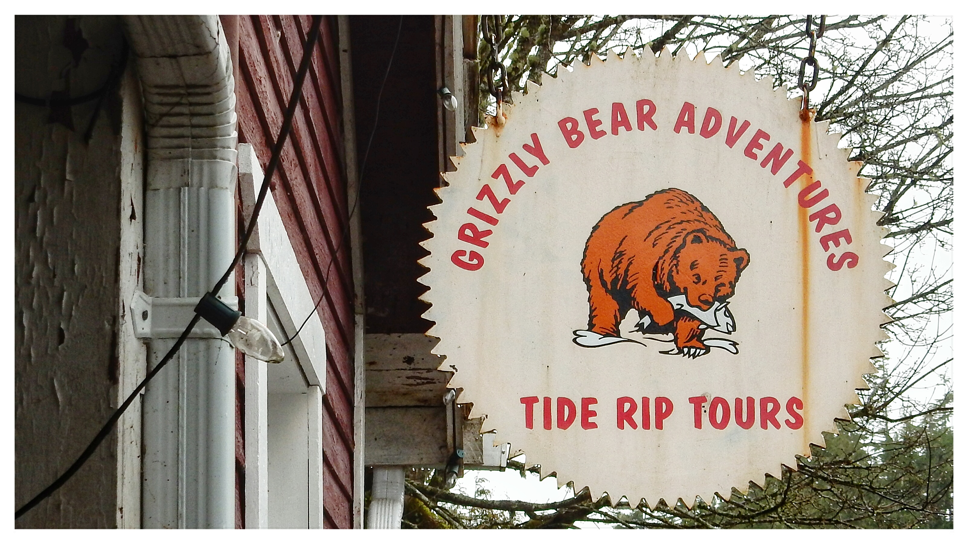
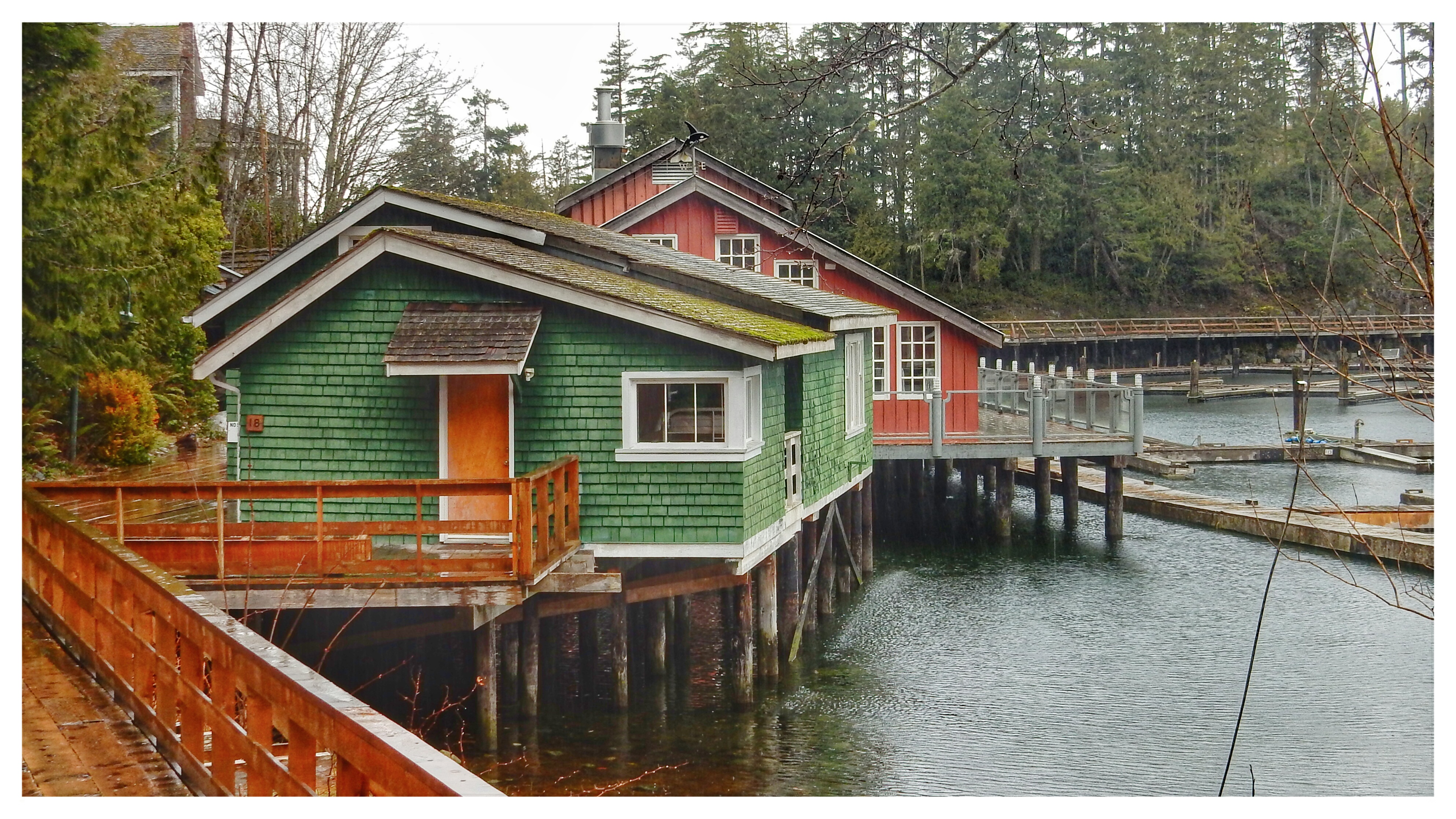
On our way home from Sointula (2016-02-10) we took the short side trip to Telegraph Cove. We thought it was well worth the drive.
TO BE COMPLETED
Friday, February 19, 2016
Sointula on Malcolm Island
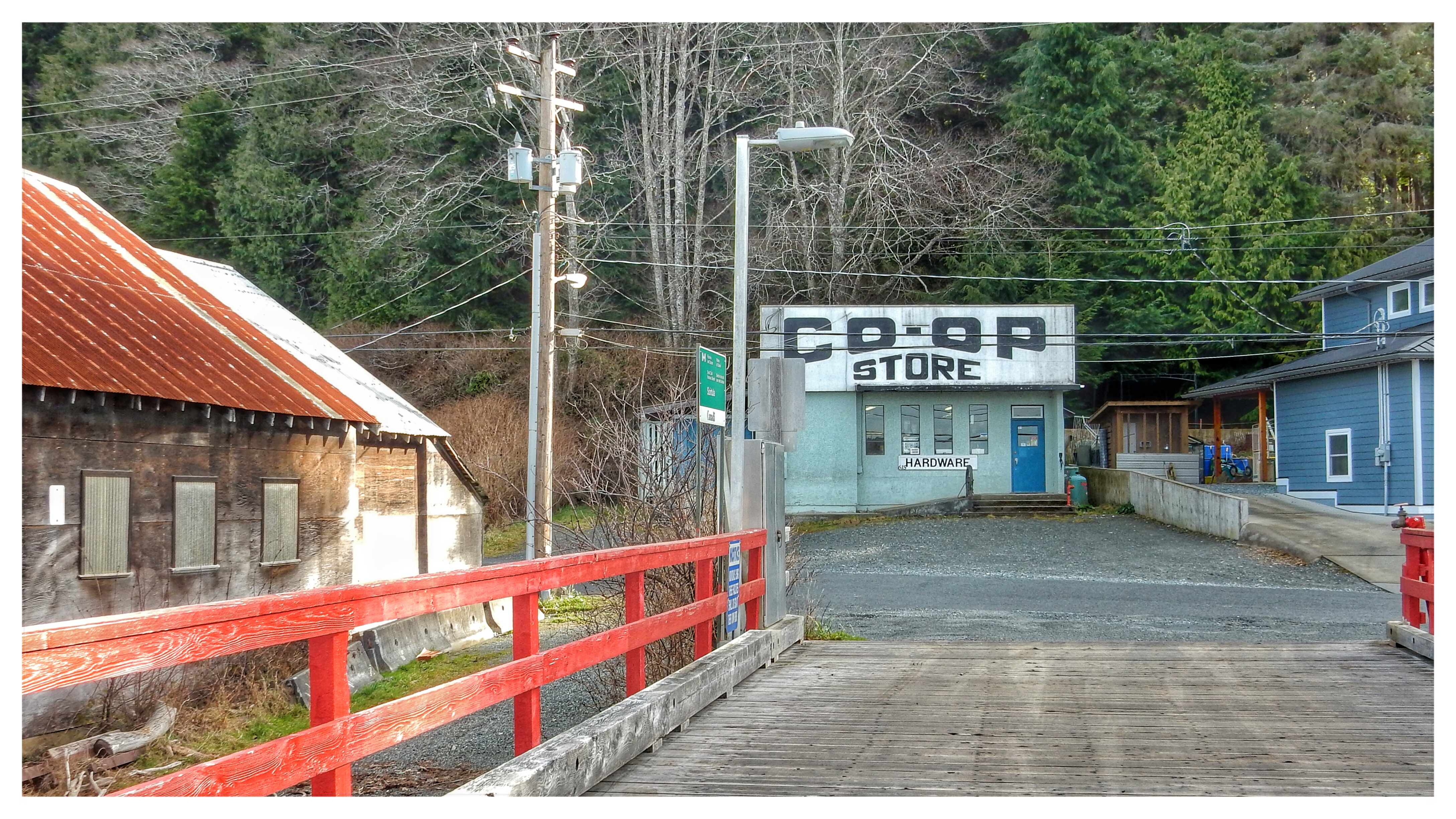
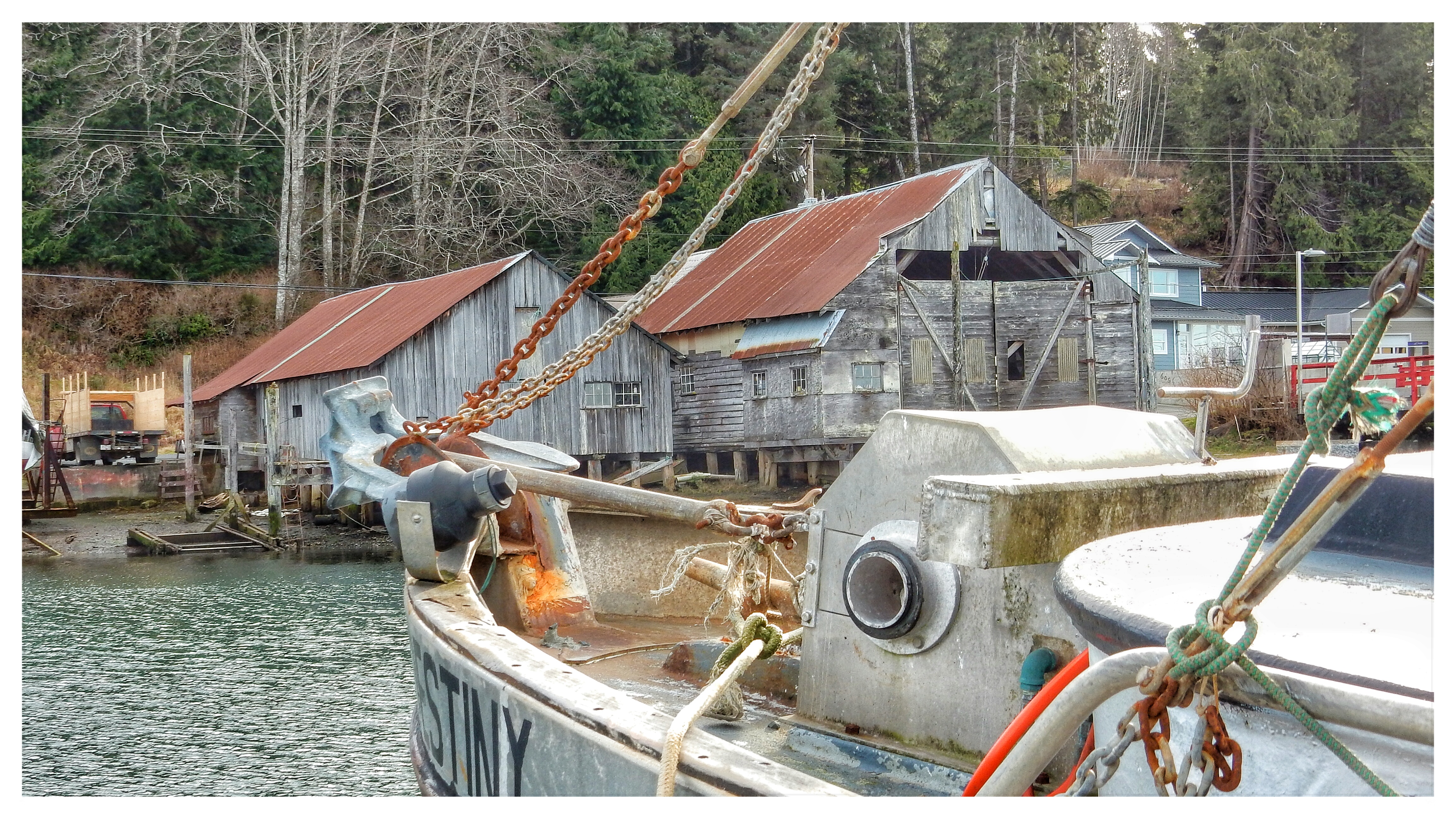
For this post, I thought I'd try something a bit different. Today I'll post a slideshow of our recent (2015-02-09/10) trip to Sointula on Malcolm Island.
![]() |
| Sointula (2015-02-09/10) Colourful boat sheds are a photographer's delight... |
TO BE COMPLETED
Labels:
beach,
British Columbia,
Canada,
Malcolm Island,
Park,
rust,
Sointula,
water
Thursday, December 12, 2013
ChuteLake in 2013
In the summer of 2002, Britta and I biked a small section of the Trans Canada Trail (the Kettle Valley Railroad section, from Chute Lake to McCulloch Lake). We started at Chute Lake just north of Naramata. There's a story about that start that'll have to wait for another blog entry. The following year, the entire region around Chute Lake, all the way to Kelowna, was caught in the midst of a terrible forest fire.
I hadn't been back to Chute Lake since that bike trip until Marco and I took the opportunity, between rain showers in the "sunny" Okanagan, to drive up to the lake in August of 2013. The first thing I noticed about our 2013 trip was the condition of the road, While it had never really been a great road, this time it was decidedly worse than I'd ever seen it. Nonetheless, we crawled our way around huge potholes as I wanted to show Marco the lake, and see for myself what the burned out area would look like, 10 years after the fact.
![]() |
| Sometimes I can't help myself. Shacks and boats MUST be photographed. (2013-08-27) |
![]() |
| Compared to ten years earlier, Chute Lake is deserted (2013-08-27) |
![]() |
| It really looks like it's been a long while since anyone rented these boats for a bit of fishing, What era are those life jackets from?! (2013-08-27) |
![]() |
| Looking down to Chute Lake from the pub/restaurant. See the regrowth in the burned-out forest.(2013-08-27) |
![]() |
| The Trans Canada Trail. This is the spot Britta and I left from on our bike trip. (2013-08-27) |
![]() |
| A shack... CLICK! A photo! (2013-08-27) |
![]() |
| A rental fleet that's not getting much action these days. (2013-08-27) |
![]() |
| The pub/restaurant is "must see BC"; out of another era. (2013-08-27) |
![]() |
| The pub/restaurant is "must see BC"; out of another era. (2013-08-27) |
![]() |
| Some of the accommodation at the Chute lake resort. (2013-08-27) |
Friday, November 15, 2013
An afternoon at Skaha Lake (Penticton)
Why is it that whenever I visit the "sunny Okanagan", it rains?
It just does! On this day, Barb, Sean, Angela, Marco and I had planned to tube down the Okanagan River, joining Okanagan Lake with Skaha Lake. No such luck. Apparently, in late August, there wasn't enough water in the river to make this a viable operation.
Too bad. But, not to worry; the sun came out and we went swimming at Skaha Lake.
It just does! On this day, Barb, Sean, Angela, Marco and I had planned to tube down the Okanagan River, joining Okanagan Lake with Skaha Lake. No such luck. Apparently, in late August, there wasn't enough water in the river to make this a viable operation.
Too bad. But, not to worry; the sun came out and we went swimming at Skaha Lake.
| (2013-08-29) |
| (2013-08-29) |
| (2013-08-29) |
| (2013-08-29) |
Friday, September 20, 2013
Lower Joffre Lake in August
As part of Marco and Angela's visit to Canada, we decided a trip to Saint Georg's winery in Naramata was in order. The only real question was how to get there. The Coquihalla highway? The Hope-Princeton highway? The Trans Canada (Highway #1), turning off at Spences Bridge? Or, the Duffey Lake Road then via either Kamloops, or Ashcroft, or Spences Bridge? In the end, opting for scenic over practical, we drove up through Squamish, Whistler, and Lillooet, by way of the Duffey Lake Road (Highway 99).
I don't know how many times I've driven this road, and I don't know how many times I've had vehicles turn off the highway in front of me, at the Joffre Lakes parking lot. Until this year, I've never bothered to ask what the attraction was. In June, in anticipation of a visit from Paul and Beate, I Googled the location. Clearly, by all internet accounts, a place worthy of a "look see".
Our short visit with Marco and Angela was well worth the parking hassle on the day we stopped in.
I don't know how many times I've driven this road, and I don't know how many times I've had vehicles turn off the highway in front of me, at the Joffre Lakes parking lot. Until this year, I've never bothered to ask what the attraction was. In June, in anticipation of a visit from Paul and Beate, I Googled the location. Clearly, by all internet accounts, a place worthy of a "look see".
Our short visit with Marco and Angela was well worth the parking hassle on the day we stopped in.
| Lower Joffre Lake (2013-08-24) |
| Joffre Peak and the emerald lake below (2013-08-24) |
| Joffre Peak rising above Lower Joffre Lake (2013-08-24) |
| A bit of a "zoom in" on Joffre Peak (2013-08-24) |
Monday, September 9, 2013
Seton Lake on a Cloudy Day
My June trip up the Sea-to-Sky Highway, and then the Duffey Lake Road, called for a "Kodak Moment" stop at Seton Lake. The weather had not cooperated on this trip. While not exactly miserable, there were plenty of clouds occasionally obscuring what would otherwise have been gorgeous mountain vistas. Nonetheless, even clouds can give pictures a degree of drama. Notwithstanding the fact that the skies over Lillooet are almost "always" blue, on this day things were a tad darker than usual.
(2013-05-23)
| The viewpoint just outside of Lillooet; Seton Lake (2013-05-23) |
| Try as we might, we could not spot (nor hear) the mountain goats that occasionally scramble about on these slopes (2013-05-23) |
| The beach at Seton Lake is awesome to swim in during summer months (2013-05-23) |
Monday, September 2, 2013
Howe Sound: the View from Porteau Cove
Our mid-July trip into the interior of British Columbia took us along the Sea-to-Sky Highway. En route to Squamish, Whistler, Lillooet, and points beyond, we stopped at Porteau Cove to stretch our legs and to catch a glimpse of Howe Sound. Follow our pictoral visit below.
| Welcome sign: Porteau Cove Provincial Marine Park (2013-07-15) |
| Looking along Howe Sound in the direction of Squamish (2013-07-15) |
| An ersatz ferry dock makes for a great pier at Porteau Cove (2013-07-15) |
| Looking across the pier, along Howe Sound, in the direction of Horseshoe Bay (2013-07-15) |
Tuesday, August 13, 2013
Ruckle's Farm on Saltspring Island
While on a visit to the fall fair on Saltspring Island, in September of 2012, we also drove by the farm at Ruckle Provincial Park. We weren't the only ones there, admiring the late summer yellowish browns. As I was walking about looking for good postcard shots, I noticed a group of water colour artists also trying their hand at capturing these unique colours.
120915
| The classic Gulf Island late summer palette (12-09-15) |
| Ruckle Farm on Saltspring Island: I've never liked the word "bucolic", but this is it (12-09-15) |
| Ruckle Farm on Saltspring Island: Country Road (12-09-15) |
| A collection of buildings at Ruckle Farm (12-09-15) |
| Ruckle Farm on Saltspring Island (12-09-15) |
120915
Subscribe to:
Posts (Atom)